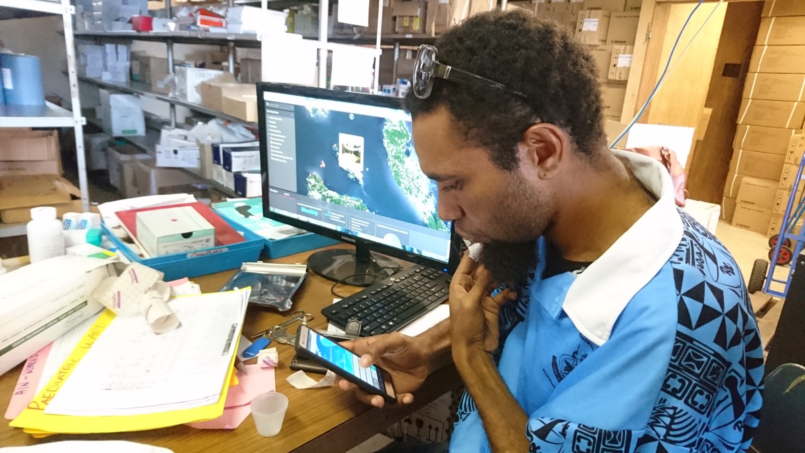
Dynamic, real-time mapping of GIS data from resources & activities to analytics.

Whether you want to present basic pins on a map or build a real-time GIS data hub, we can help. From software expertise to GIS knowledge and experience, we are an end-to-end provider, seamlessly harnessing technologies including Mapbox, OpenStreetMaps, Leaflet and Recharts.

Services

Mobile data collection

Mobile data collection, with GIS tagging using our free and open-source app Tupaia MediTrak (iOS and Android).

Integrations

Integrate other GIS data sources via APIs or data imports.

GIS analysis

GIS analysis (e.g. calculating available resources or outcomes within configurable boundaries).

Tile layers

Choose from hundreds of map tile layers through Mapbox and OpenStreetMaps.

Map overlays

Beautiful, powerful, customisable map overlays.

All in one

Manage all your projects, countries and teams in the one place, with multiple personas, roles-based permission groups and SSO across the platform.

Approval process

Publish straight to maps from data collection in real-time or use data approval processes.

Mapping-led visualisations

Mapping-led visualisations (setting dashboard views based on where you click), allocating permissions in 4 dimensions (who, what, where and when) instantly with every click.

Migration support

Migrate your existing Mapbox or OpenStreetMaps project over to our platform whilst retaining account details and analytics.

Integrate your data, BI and mapping services all in one place.

Tired of managing information across your data collection app, database, BI tools and GIS platform, whilst juggling user accounts? We hear you. Start using Tupaia and your data, BI and mapping comes together in one place. Every user has a single account across unlimited projects, with fully flexible permissions. All this with a free and open-source platform designed for usability in the most remote settings.

Want to work with Mapbox’s powerful tools but don’t know where to start? Come and chat with us – in addition to our free OpenStreetMaps tools, we harness paid Mapbox services via APIs and allow you to select from any of their tile layers. We can do this while entirely retaining your data however, so you can store and manage it wherever and whenever you like. Benefit also from our powerful roles-based permission groups and SSO across multiple projects and geographies so that you experience the best of both worlds.